Mobile mapping on rails
Mobile mapping is a solution of choice for an efficient and accurate input of every element of a railroad network. Image and laser sensors combined in a mobile system usable on rails allows us to complete three major application:
Mobile or drone mapping? Why not both?
Comparison of two digitisation methods: photogrammetric acquisition by drone and mobile mapping
Computation of free space gauges on rail track
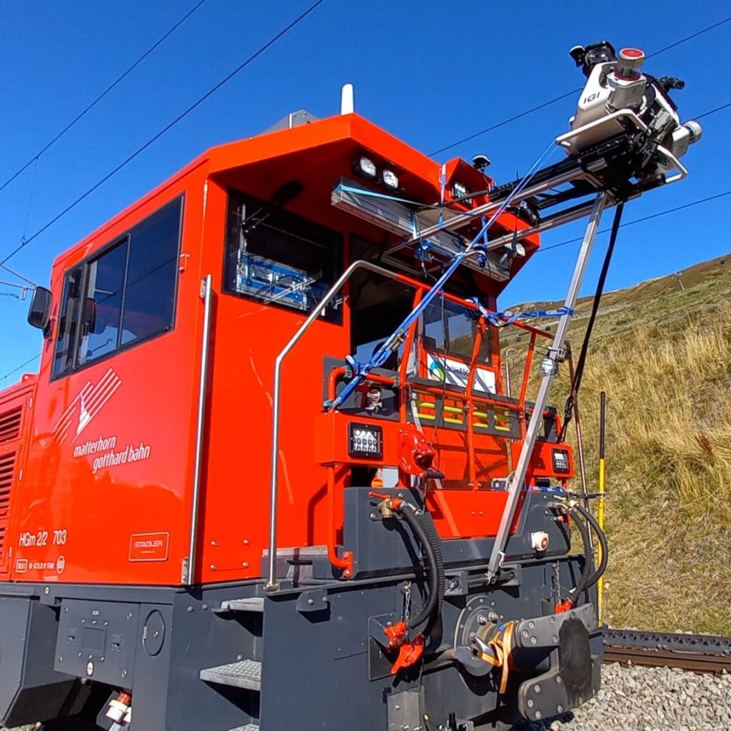
The entire network of the Matterhorn Gotthard Bahn (MG Bahn), from Zermatt to Disentis, as well as the section between Andermatt and Göschenen, which is about 150km long, was surveyed in October 2021 using our Mobile Laser Scanning system (MLS). This system provides a very high density point cloud coupled with georeferenced panoramic images of the track and its surroundings.